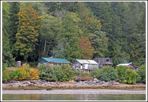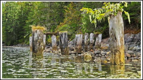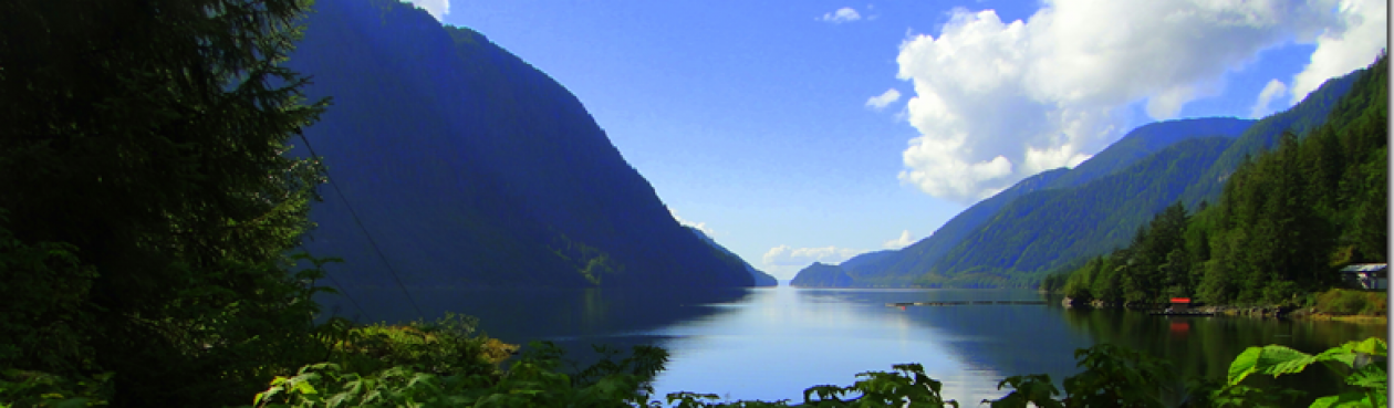
After checking and rechecking the tide and current tables for Whirlpool Rapids, Green Point Rapids, and Lower and Upper Rapids of Okisollo Channel, making sure that we would reach the various rapids as close to slack as possible, we left Forward Harbour, headed for Owen Bay. It was raining cats and dogs, but we didn’t have to contend with fog or big seas, so that was a plus.
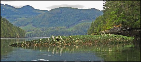
Whirlpool and Green Point Rapids were a piece of cake. Lower and Upper Okisollo, on the other hand, were roaring, and the tide had turned against us. Not good. The water seemed to be swirling in every direction. I stuck my nose in my Kindle and tried to keep it there, in an effort to keep from screaming, which Al finds very distracting. Luckily, we only had about 20 minutes of this nightmare. We could finally see the entrance to Owen Bay, where we planned to anchor for the night. The entrance is very narrow, with ugly jagged rocks on either side, and the current was twisting us one way and then the other, but Al managed to squeak through without hitting anything. If this is what these rapids look like on a neap tide, we definitely won’t be coming through Okisollo on a spring tide.
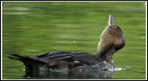
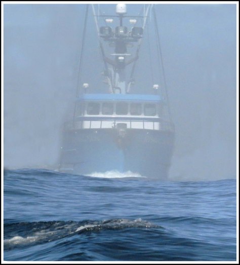
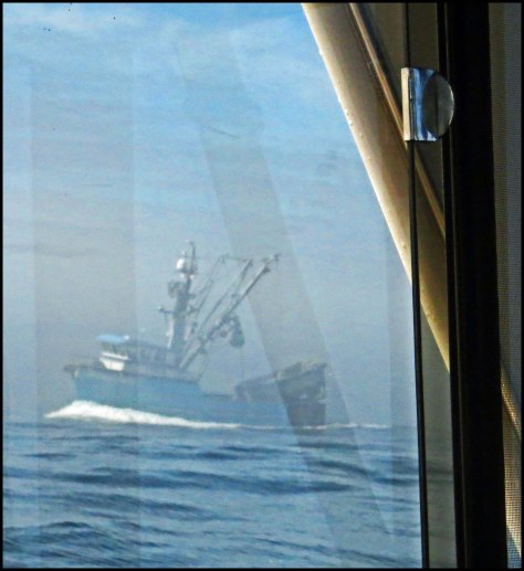
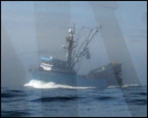
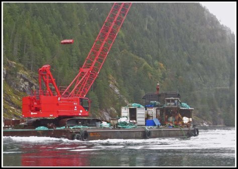
The next day we headed for Squirrel Cove, on Cortes Island. We had an easy trip. At the east end of Hole-in-the-Wall, a tug towing this big crane was headed in the opposite direction.

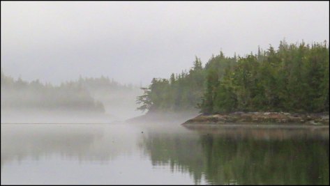
We had rain almost every day, and the temperature at night was usually around 54 degrees. Summer is definitely over.
At Squirrel Cove, we were running short on fresh fruit and veggies, so I paddled to the Squirrel Cove Store to see what they had to offer. I was pleasantly surprised to find that they had almost as much to offer as the store in Shearwater. Being on my kayak, I was a bit limited by how much I could carry. But, I managed to get avocados, apples, pears, plums, kiwis, broccoli, carrots, zucchini, cabbage and almond milk. And, I managed to get it all aboard and secured on my kayak.
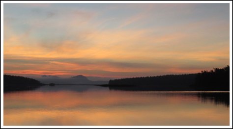
We left Squirrel Cove at daybreak, headed for Boho Bay on Lasqueti Island. the water was flat calm. The weather forecast was for 10-15 knot winds in the afternoon. Since the water was flat, clear to the horizon, we decided to take a chance and head down the west side of Texada Island, which would put us closer to Nanaimo. It turned out to be the right call, as we had flat water all the way to False Bay, where we anchored for the night.
Bright and early the next morning, we headed for Nanaimo. Once again, Georgia Strait was flat calm. We couldn’t believe our good fortune.
The Whiskey Golf Military Test Area was active, so Al called the Canadian Coast Guard and they verifed that our course, set for half a mile east of Ballenas Island, would take us outside the test area. However, when we were within about a half mile of the east side of Ballenas Island, I saw a Canadian Coast Guard boat heading toward us, with someone on the bow flagging us down. He told us we were inside the test area and had to change to a course that would put us on the west side of Winchelsea Island, which is not what they had told us earlier. But, who are we to argue with the Canadian Coast Guard. We certainly didn’t want any close encounters with their test torpedos.
When we got closer to Nanaimo, however, Al called the Coast Guard to verify the boundaries of Whiskey Golf. He was told that Whiskey Golf does not extend to the west side of Ballenas, but to a half mile east of Ballenas. So, we had not been inside Whiskey Golf when they flagged us down. Oh, well, better safe than torpedoed.
Once we got to Nanaimo, I spent the whole time posting to my blog. We did, however, find time for a lovely lunch with our friends Doug and Marilyn MacGillivray, at the Firehouse Grill, in Nanaimo.
Normally, we would head for Montague Harbour, from Nanaimo, but the weather was so good for traveling, that we kept on going clear to Hunter Bay, on Lopez Island, in the San Juan Islands, where we anchored for the night.
The next morning looked like a great day for traveling also, so at dawn, we headed for Seattle.
The sea was flat calm all the way across Juan de Fuca Strait. But, by the time we got to Port Townsend, where we had to get some fuel, the wind started building. And, by the time we got just north of Port Ludlow, we were seeing gusts to 25 knots, and the following seas were huge, probably due to the fact that there’s a spring tide. Al had a heck of a time getting us into Port Ludlow, because our course into Port Ludlow put the seas on our beam. But he managed it, and we spent a calm night, anchored just 25 miles from home.
The next morning the seas were still calm, as we headed for our slip in Elliott Bay Marina.