All winter long, Al has been formulating The New Plan for Getting Around Cape Caution Without Trauma.
First Leg — Leave Port McNeill, headed for Blunden Harbour. If the weather is calm enough to head north, set your course for Miles Inlet. If the weather, when you reach Miles Inlet is calm enough, set your course for rounding Cape Caution.
Second leg — Once around Caution, head up Smith Inlet, with the seas behind you, and anchor in Fly Basin.
Third leg — Head across Smith Inlet from Fly Basin, where the water is relatively smooth and the distance across the inlet is shorter, and either anchor in Millbrook Cove, or, if the wind is light, continue on through the small passage at Shield Island which is very protected, and out and around Paddle Rocks, heading up Rivers Inlet with the swell behind you. When the swell flattens out a bit, angle across Rivers Inlet to Klaquaek Channel, and anchor in Big Frypan, on Penrose Island.
Well, you know what they say about the best laid plans. Here is what actually happened…
Al was up at 0400 hrs, listening to the weather report for the Central Coast, McGinnis Island to Pine Island, and buoy report for West Sea Otter. The forecast was for 15 to 25 knot winds, becoming light in the afternoon, and the buoy report for West Sea Otter was swells running 2.3 meters high, at 7 second intervals… not good for going around Cape Caution today. But, since the wind was calm at Port McNeill at the moment, we decided to head for Blunden Harbour and wait for better weather for rounding Cape Caution. I said, “Maybe, if the wind stays calm, we could adjust our course and try to make Miles Inlet,” which is about 16 miles south of Cape Caution. “Just put the course in for Blunden,” Al said.
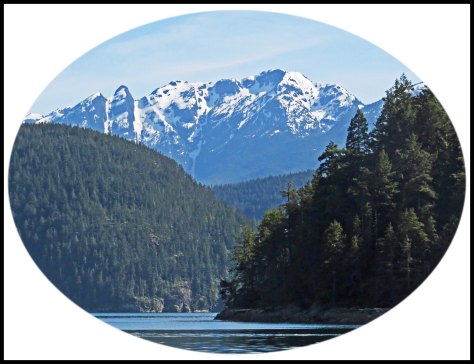
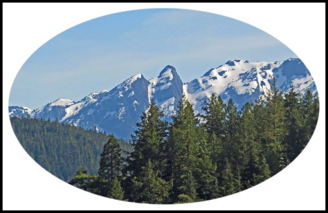
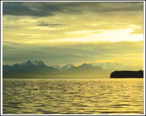
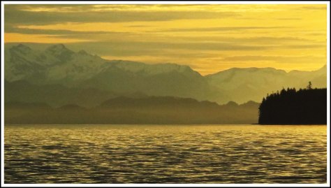
So, we set out at 0530 hrs, thinking we’d only get as far as Blunden Harbour. As we rounded Malcolm Island, the sun was just coming up, turning everything golden. I was surprised to see how much snow was still on the mountains.

About an hour out, Al said, “It’s looking like we might be able to make Miles after all. Put in a course for Miles.”
We kept checking the buoy reports, and they kept saying the swells were 2.3 meters high. The swell interval was 8 seconds, however, which was headed in the right direction. The wind where we were was still only blowing about 5 knots, and the seas weren’t bad. About 3 miles south of Miles Inlet, Al said, “I think we might be able to make it around Caution. Set a new course that will keep us a mile off Caution”.
About a mile south of Miles, the seas starting building. There still wasn’t any wind to speak of, but we were starting to see the nasty effect of Slingsby Channel. We were about 30 minutes before slack tide, but the seas were still ugly. We continued on, hoping the seas would smooth out a bit at slack.
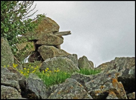
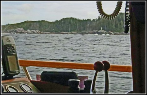
After what seemed like an eternity, we could finally make out the light at Cape Caution. Al had headed inside my course line, which took us closer to shore, so I was able to get this shot of Cape Caution light.
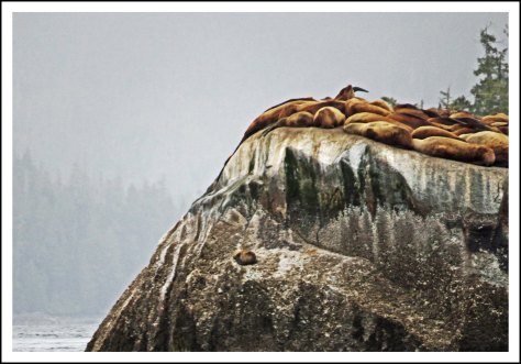
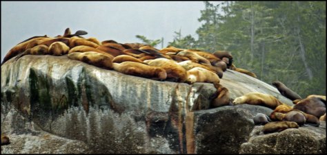
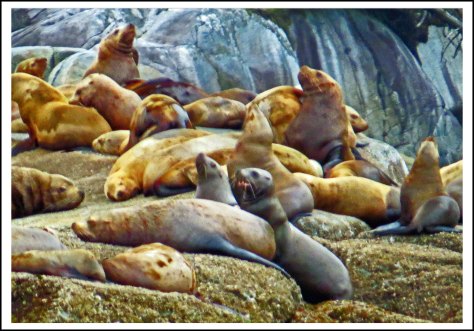
Now we had to decide where we were going to anchor tonight. Since the seas were pretty uncomfortable, we decided to head for Fly Basin, up Smith Inlet. Al wanted to head inside South and North Iron Rocks, but I kept insisting that we head outside, because of the ugly swells. As we got closer to the rocks, he finally decided to make me happy and headed just outside the rocks. I was being bounced around pretty good when I took these shots of South Iron Rock.


The farther up Smith Inlet we got, the smoother the seas. What a relief!
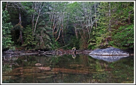
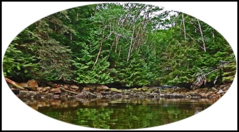
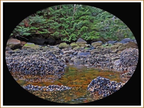
We hadn’t been to Fly Basin in about 25 years, back when we had the sailboat. It was much prettier than I remembered. We decided to anchor in the eastern cove of Fly Basin and found a lovely, quiet spot where we dropped the hook.
Having rounded the dreaded Cape Caution, which we never thought we’d accomplish today, we celebrated with a gift bottle of Gundlach Bundschu Merlot, which I’d been saving since Christmas. Cheated Death again.